EHJR Surveying LLC 1
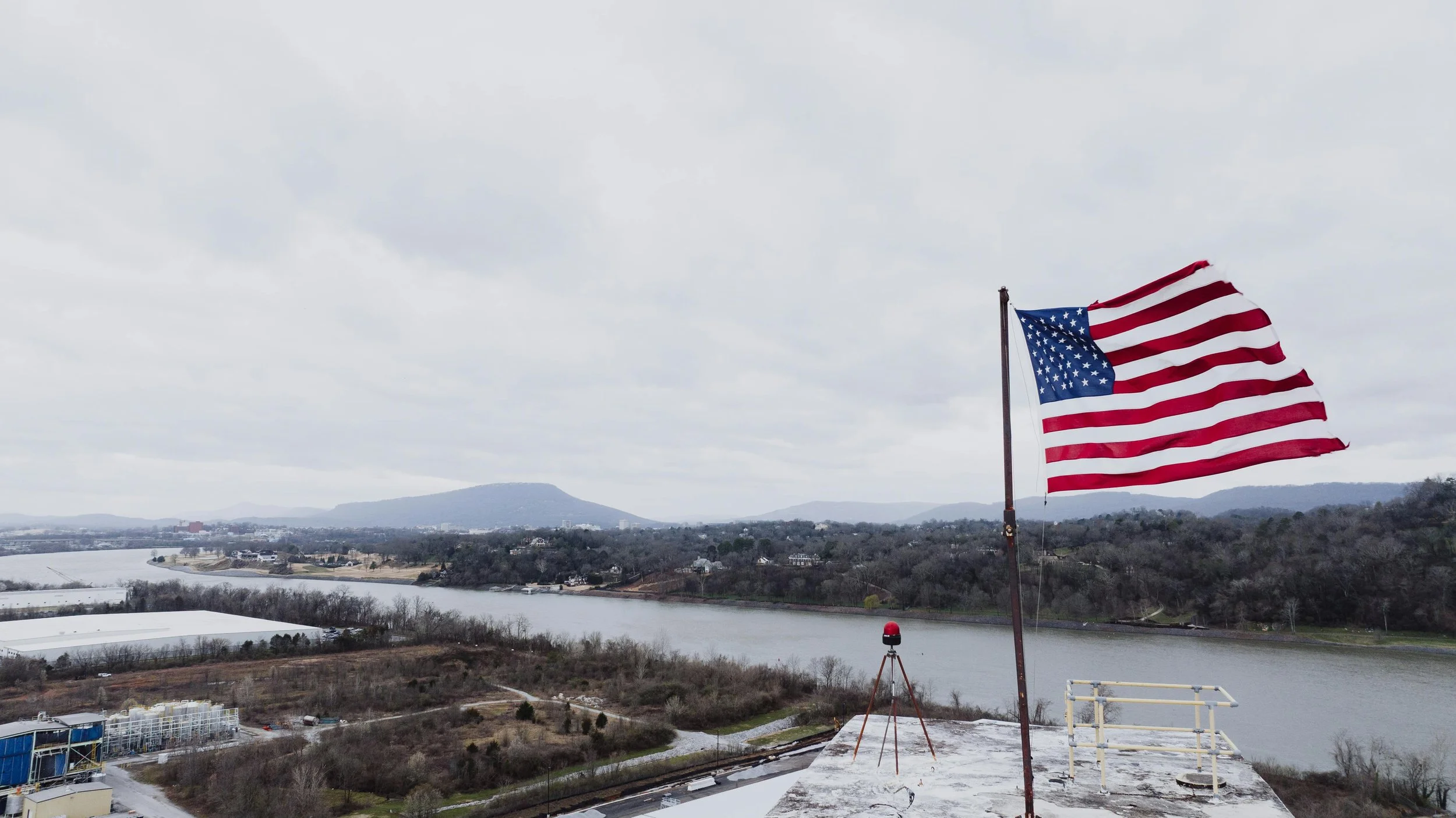
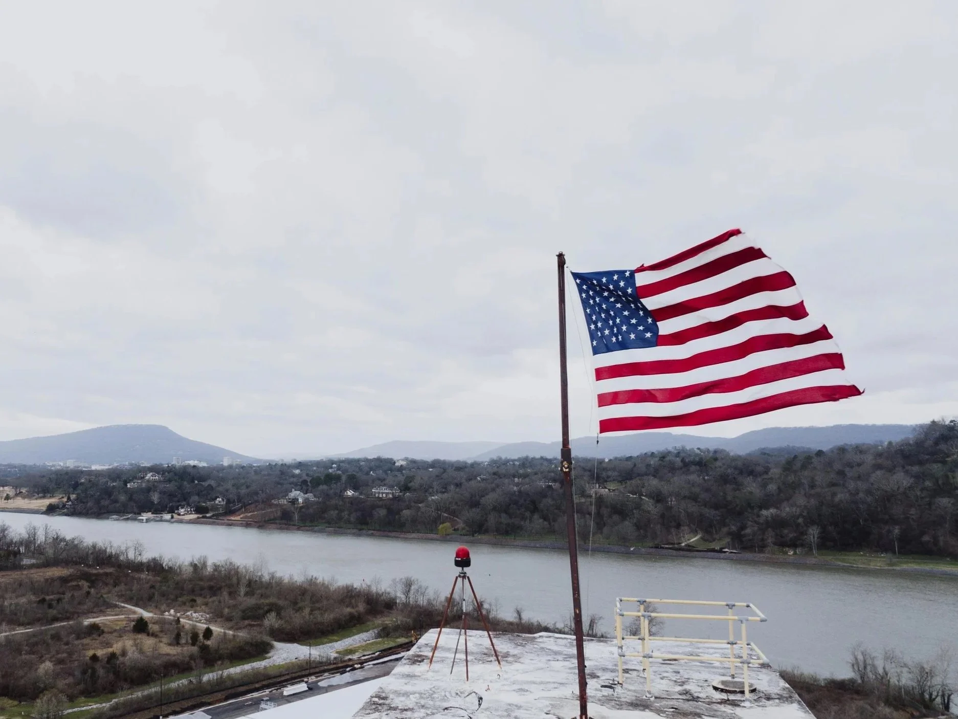
EHJR Surveying LLC is a land surveying firm located in Saddle Brook, Bergen County, NJ. with surveying experience dating back to 1988. We are a Disabled Veteran Owned Business. Using current survey technology, we offer surveying services for residential sites, construction sites, remodeling projects, State Projects, Federal Projects, and interior construction.
EHJR Surveying LLC 2
EHJR Surveying LLC is a land surveying firm located in Saddle Brook, Bergen County, NJ. with surveying experience dating back to 1988. We are a Disabled Veteran Owned Business. Using current survey technology, we offer surveying services for residential sites, construction sites, remodeling projects, State Projects, Federal Projects, and interior construction.
Services ver 1
Construction Surveying
Surveying, Mapping & Planning
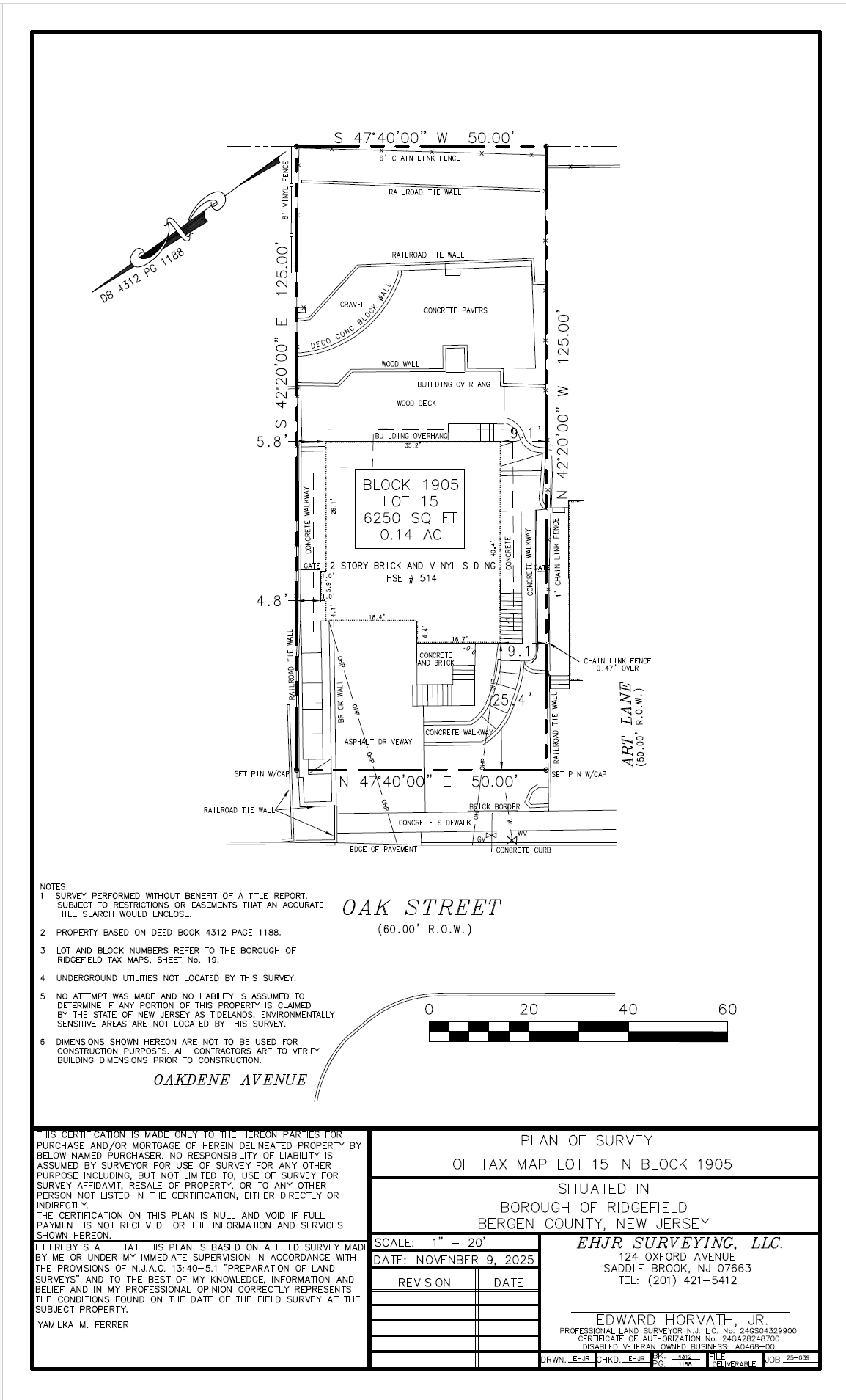
Title Surveys
Elevation Certificates
ALTA Surveys
Farm Preservation
Green Acres
Route Surveys
Boundary Surveys
As-built Surveys
Topographic Survey
Foundation Location Surveys
Plot Plans
Final Plats & Minor/Major Subdivisions
Legal Descriptions
Construction Layout Services
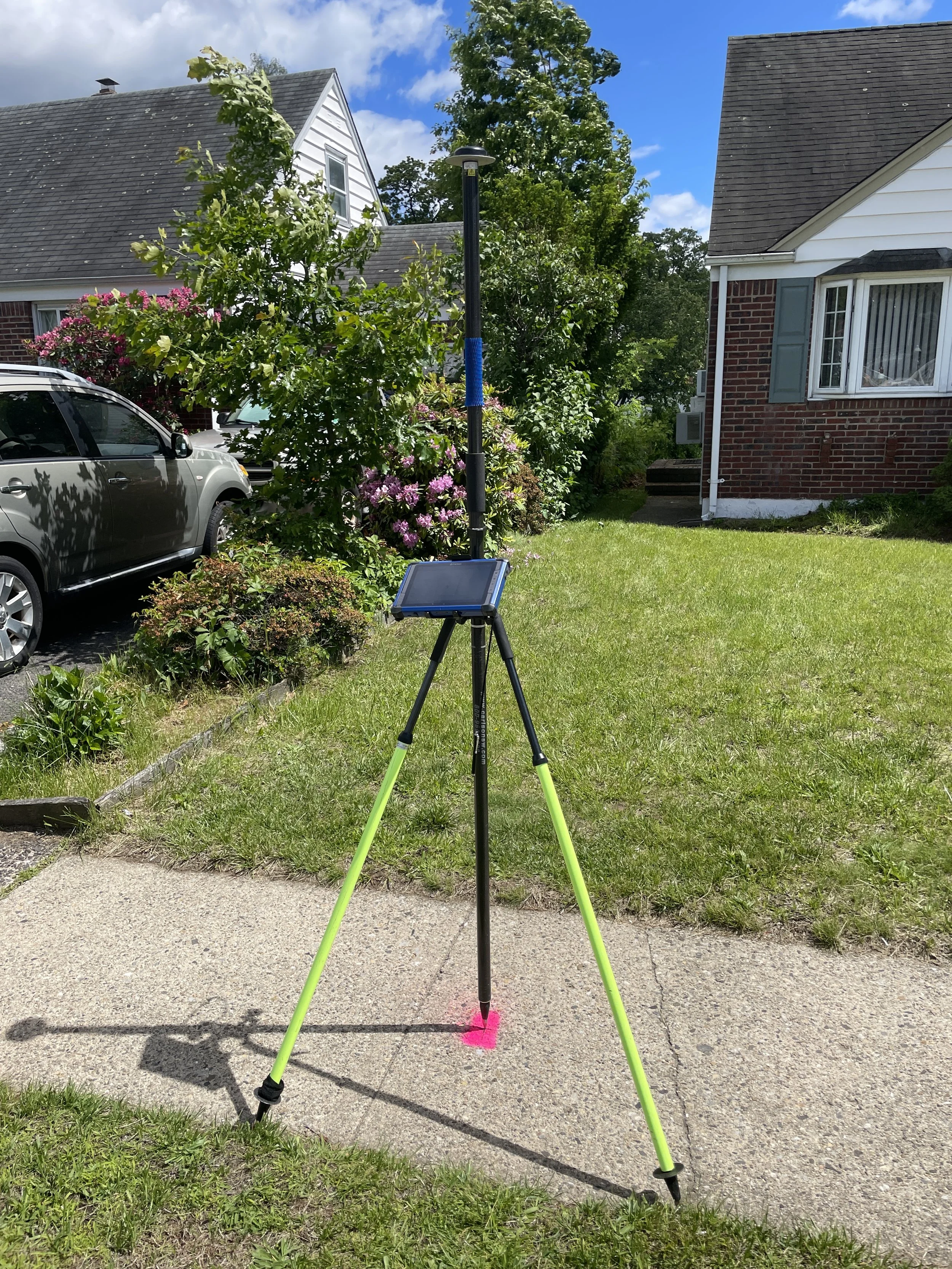
GPS Field Data Collection
GPS Observations and RTK Locations
DOT Highway and Road Projects
Golf Course Mapping
Deformation Monitoring
Design
Foundation Plans
Service ver 2
Group 1
Construction Surveying
Surveying, Mapping & Planning
Title Surveys
Elevation Certificates
ALTA Surveys
Farm Preservation
Group 2
Green Acres
Route Surveys
Boundary Surveys
As-built Surveys
Topographic Survey
Foundation Location Surveys
Group 3
Plot Plans
Final Plats & Minor/Major Subdivisions
Legal Descriptions
Construction Layout Services
GPS Field Data Collection
GPS Observations and RTK Locations
Group 4
DOT Highway and Road Projects
Golf Course Mapping
Scanning & Engineering Services
Design
Foundation Plans
Edward Horvath Jr.
DVOB VOB SBE
As a seasoned business consultant, John specializes in strategic planning, market analysis, and performance optimization. With a track record of successful project delivery and client satisfaction, he is committed to driving positive outcomes for our clients

Contact
Contact to initiate a detailed consultation and obtain a customized proposal.
Need a quote? Have a question? Send us a message and we’ll be in touch ASAP! If you know the address of the property to be surveyed, please include it so we can quote your job faster.